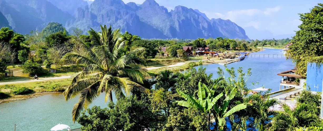
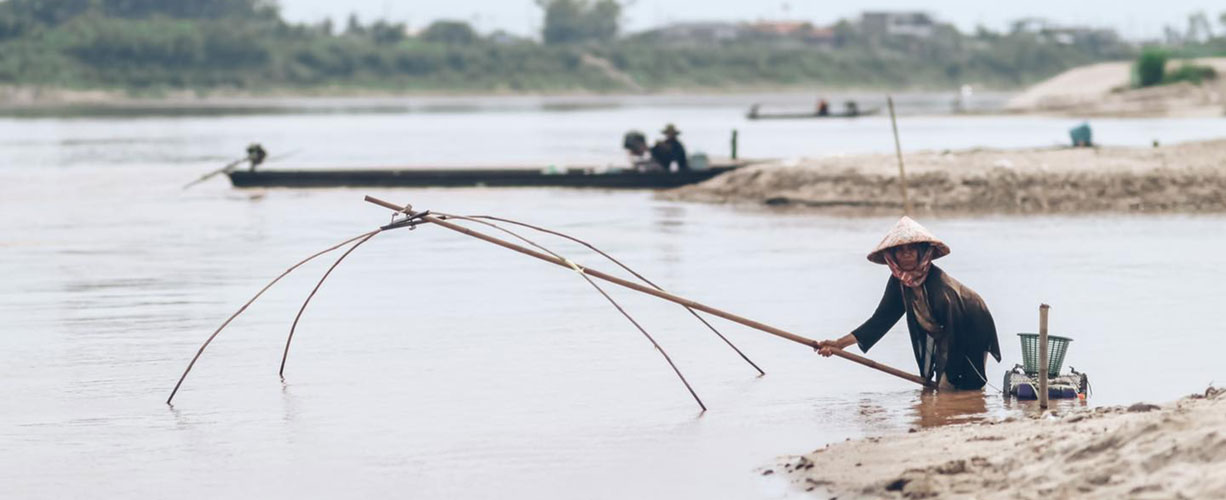
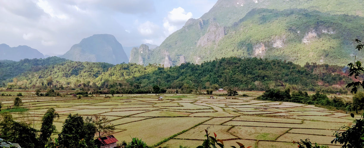
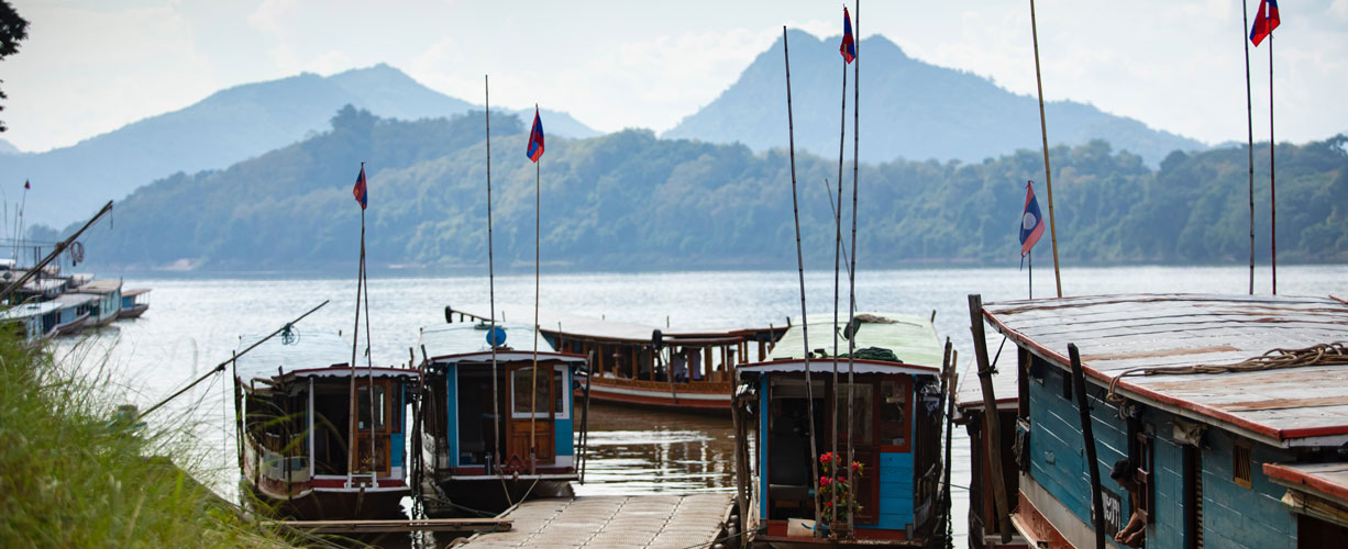
Laos is bordered by Thailand, Cambodia, Vietnam, China and Myanmar (Burma). Rivers and mountains dominate the country's topography. The largest river, the Mekong (Nam Khong), runs the entire length of the country, providing fertile flood plains for agriculture and forming the country's border with Thailand. It is also Laos' main transportation artery.
Over 70% of the country consists of mountains and plateaus. The Annamite Chain, bordering Vietnam, runs parallel to the Mekong for half the length of the country. The rugged mountains average between 1500-3000m (4920-9840ft) in height, and at their southern extremity open up to form the Bolaven Plateau, a 10,000 sq km (6200 sq m) area that produces mountain rice, coffee, tea and other high-altitude crops. The highest mountain is Phu Bia (2819m/9246ft) in northern Laos.
Despite large-scale bombing and the use of defoliants in the eastern section of the country during the US war with Vietnam, Laos has one of the most pristine ecologies in South-East Asia. Vegetation consists primarily of varieties associated with monsoon forests such as teak, Asian rosewood and bamboo. About 50 per cent of the country is covered with primary forest and another 30 per cent with secondary growth. The forests are endangered by illegal logging and slash-and-burn agriculture.
Endemic animals include the concolor gibbon, snub-nosed langur, lesser panda and raccoon dog. Exotic species found in neighbouring countries are usually found in greater numbers in Laos because of the forest cover and fewer hunters. They include the Javan mongoose, Siamese hare, leopard cat, tiger, Irrawaddy dolphin, and a few Javan rhinos thought to survive in the Bolaven Plateau. There are 17 recently-opened Biodiversity Conservation Areas scattered throughout the country.
Copyright 2010 Lonely Planet Publications , all rights reserved, used with permission
